Log in
All resources
Create a design
1,095,938 Free Images of Maps Of Carniola
maps made in the 17th century
atlantis magni tomus secundus (biblioteca comunale di trento)
charts and maps of the royal museums greenwich
1590 maps
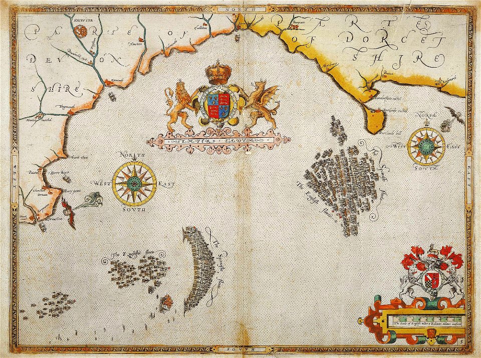
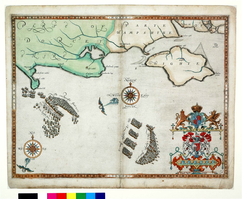
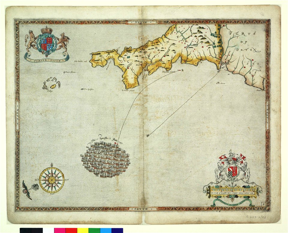
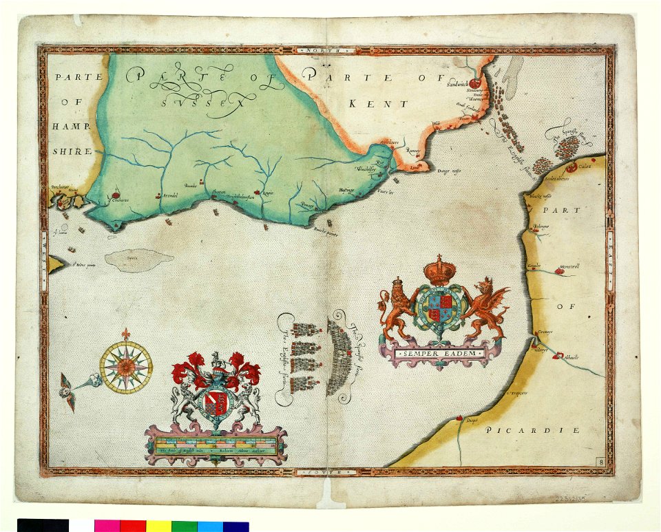
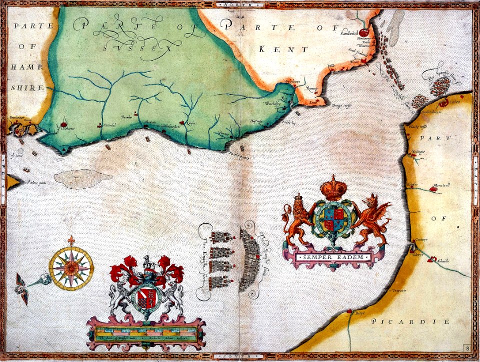
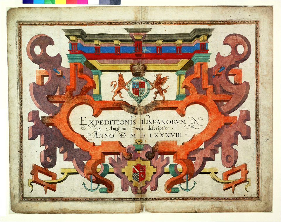
expeditionis hispanorum in angliam vera descriptio anno domini mdlxxxviii
maps made in the 18th century
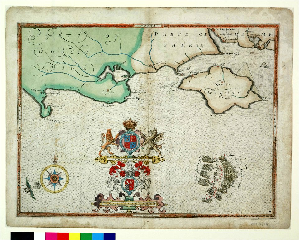
augustine ryther
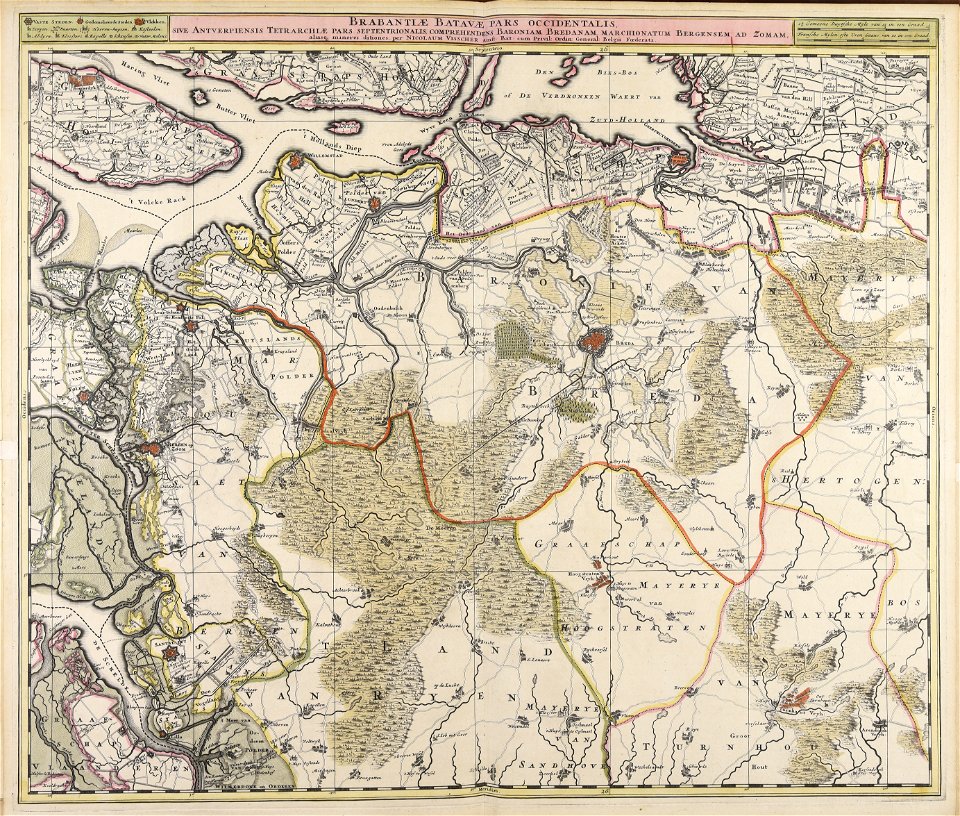
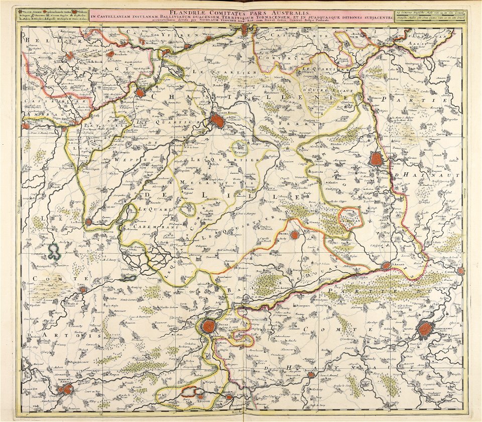
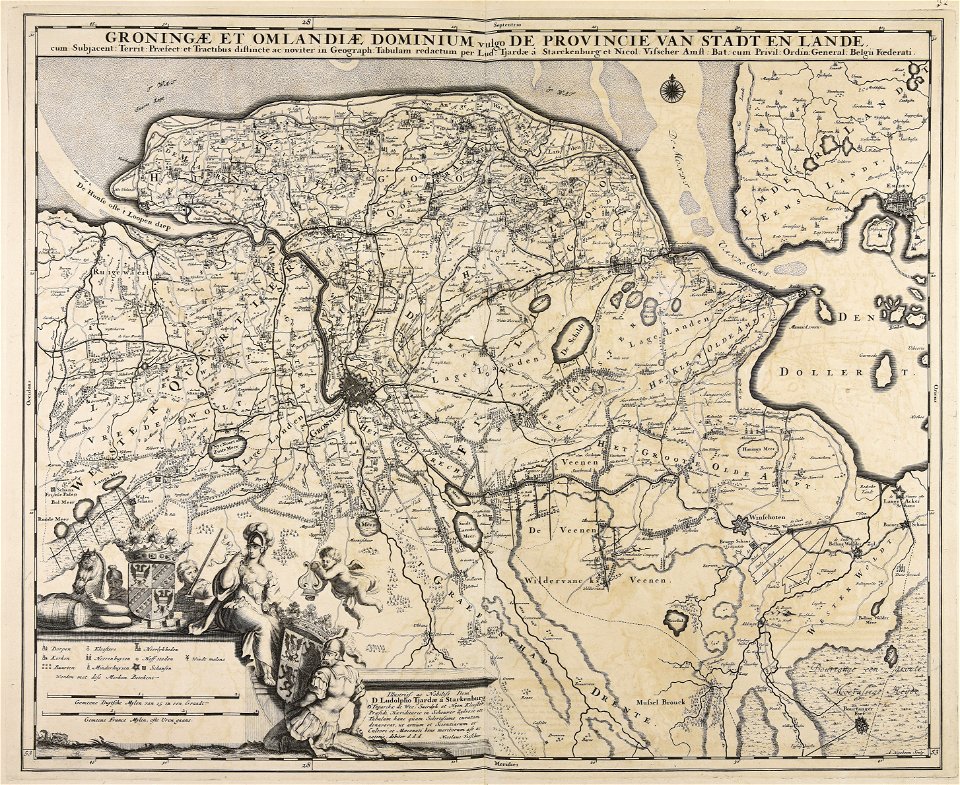
nicolaes visscher ii
atlantis magni tomus tertius (biblioteca comunale di trento)
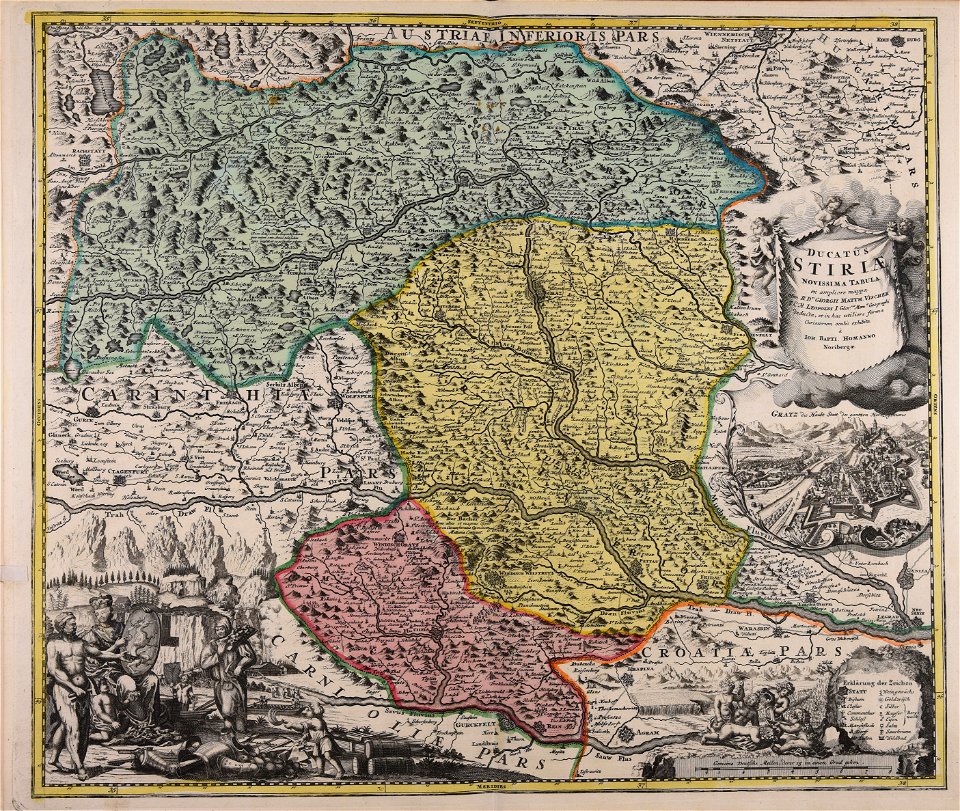
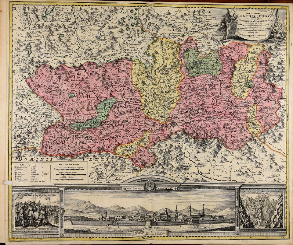
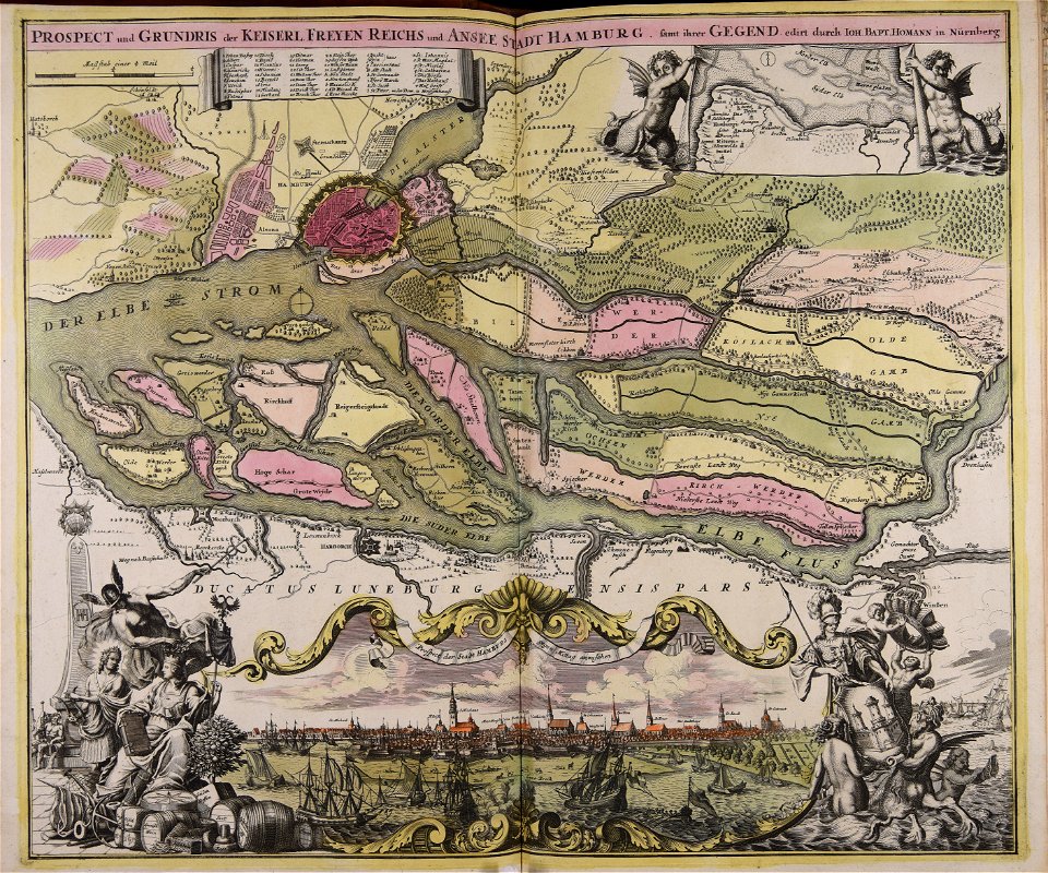
johann baptist homann
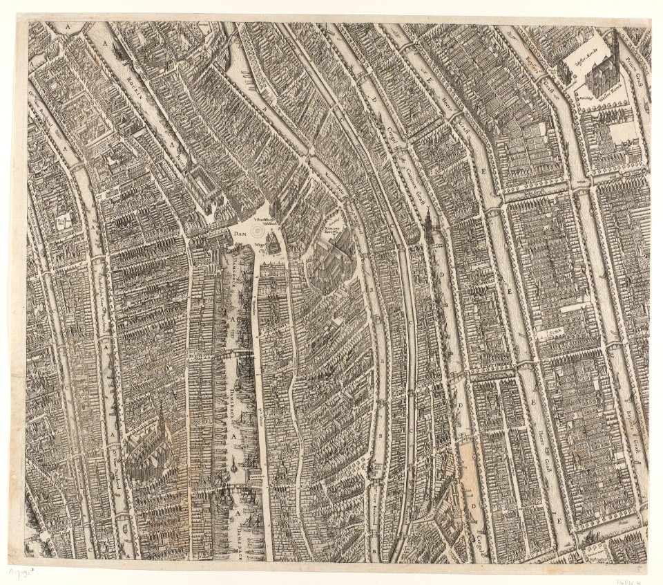
dutch 17th-century prints in the rijksmuseum amsterdam
maps in the rijksmuseum amsterdam
dutch 17th-century prints in the rijksmuseum amsterdam
maps in the rijksmuseum amsterdam
dutch 17th-century prints in the rijksmuseum amsterdam
maps in the rijksmuseum amsterdam
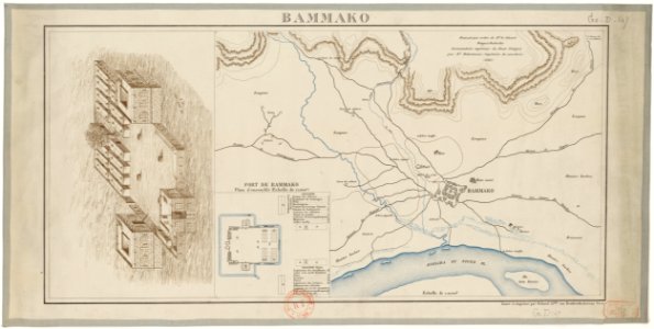
bamako in the 1880s
military maps
maps made in the 17th century
nicolaes visscher ii
maps made in the 17th century
nicolaes visscher ii
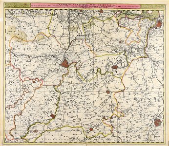
flemish prints in the british museum
etchings by wenzel hollar
maps made in the 17th century
old maps of gelderland
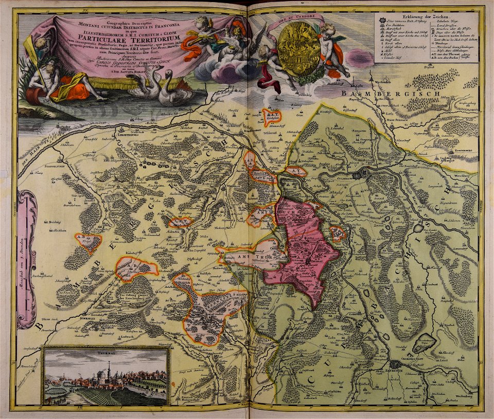
johann baptist homann
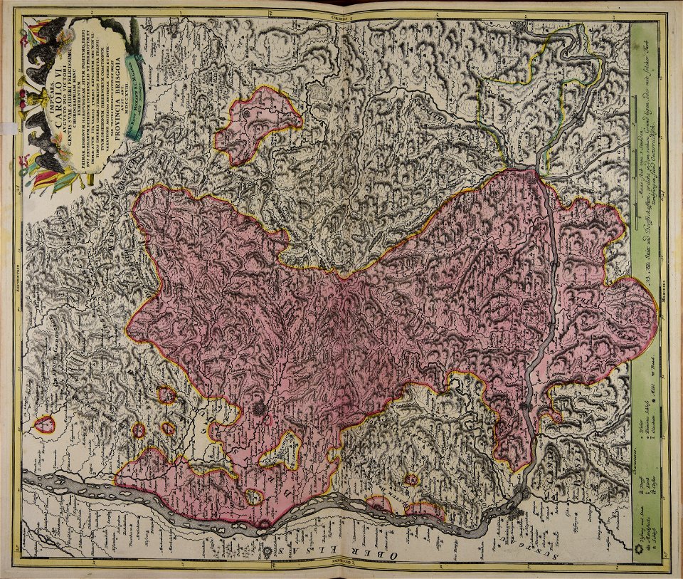
old maps of styria
maps made in the 18th century
johann baptist homann
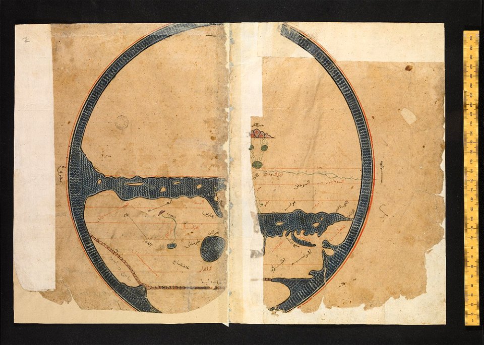
arabic-language manuscripts
bodleian library
maps made in the 17th century
jan janssonius
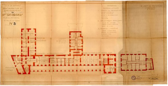
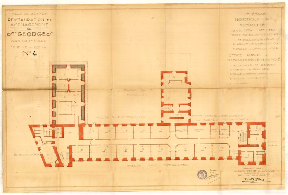
old maps of rennes
1922 maps
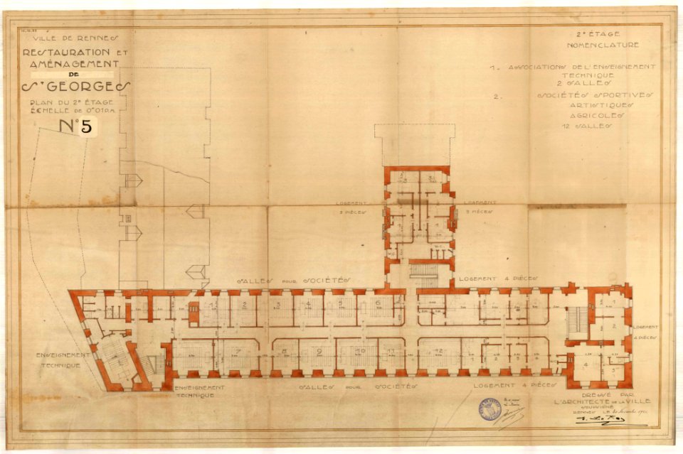
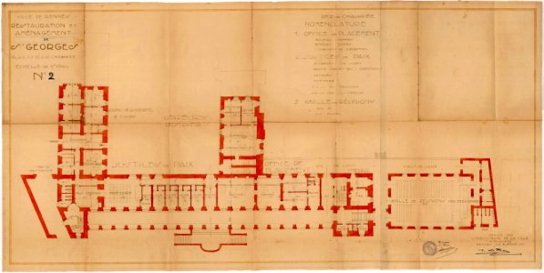
old maps of rennes
1922 maps
old maps of rennes
1922 maps
old maps of rennes
1922 maps
georg marggraf
elmina
atlantis magni tomus quartus (biblioteca comunale di trento)
maps made in the 18th century
atlantis magni tomus quartus (biblioteca comunale di trento)
maps made in the 17th century
images from the john carter brown library
maps by samuel de champlain
maps made in the 17th century
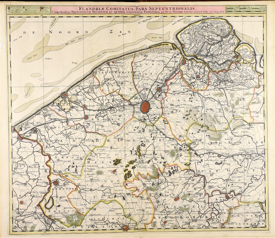
nicolaes visscher ii
maps made in the 17th century
nicolaes visscher ii
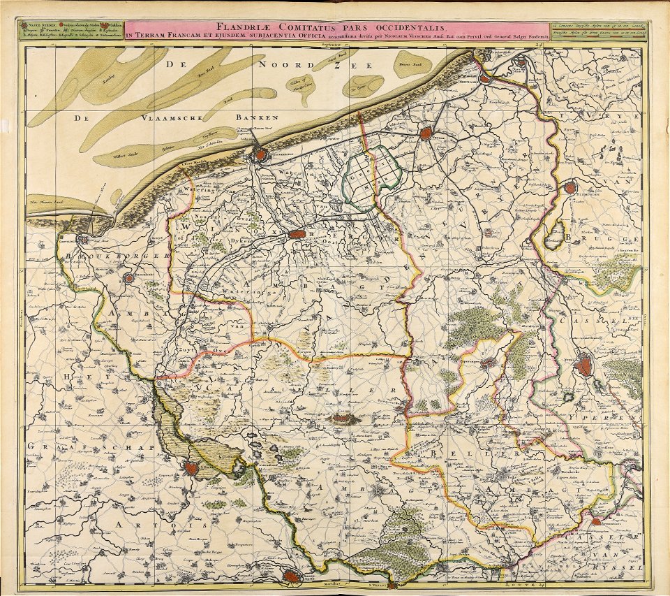
maps made in the 17th century
nicolaes visscher ii
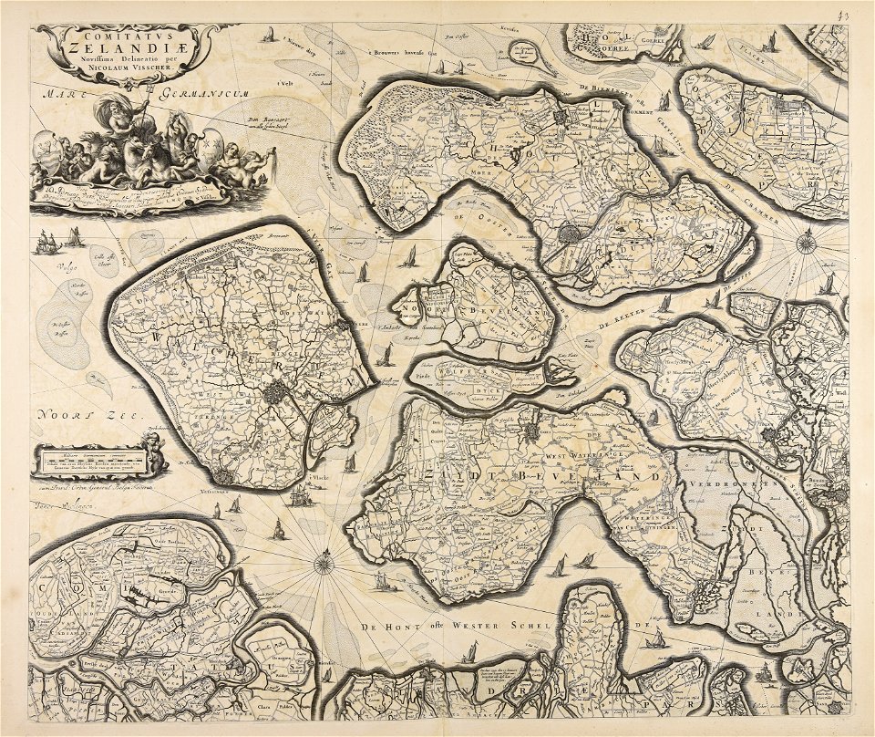
maps made in the 17th century
nicolaes visscher ii
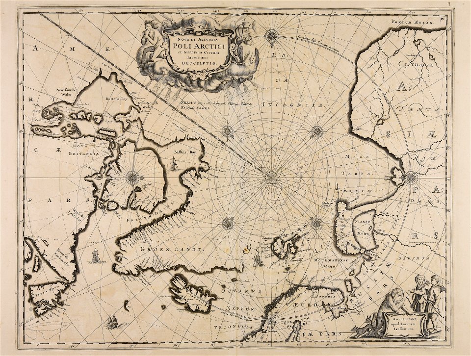
maps made in the 17th century
nicolaes visscher ii
maps made in the 17th century
nicolaes visscher ii
maps made in the 17th century
nicolaes visscher ii
maps made in the 17th century
jan janssonius
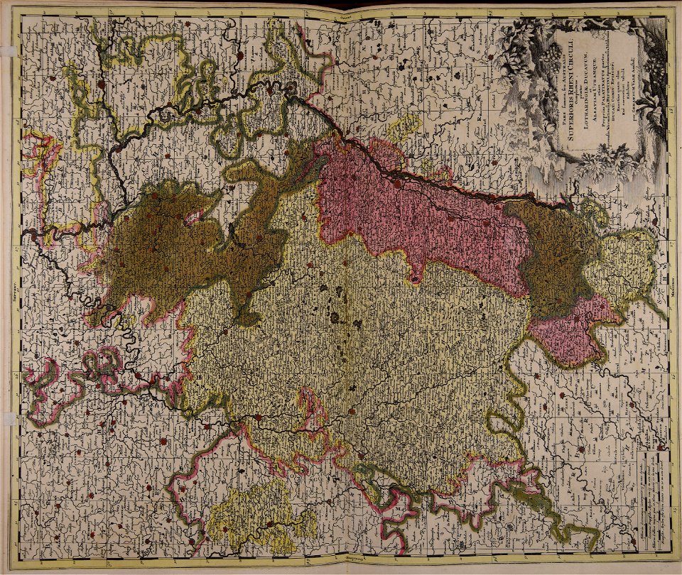
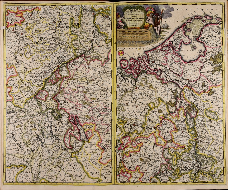
maps made in the 18th century
johann baptist homann
maps made in the 18th century
johann baptist homann
maps made in the 17th century
old maps of gelderland
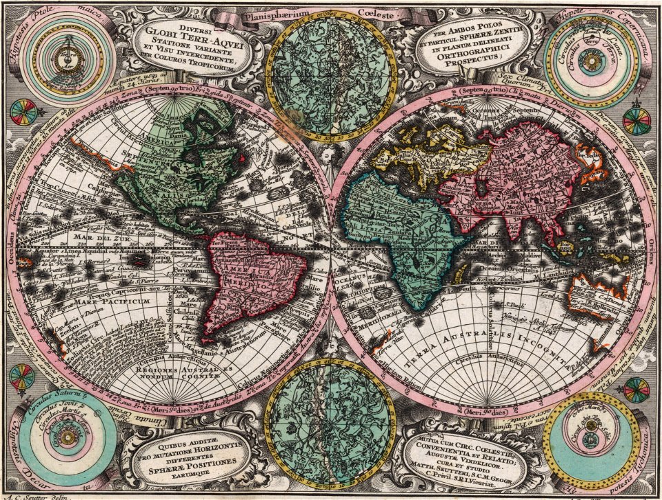
double hemisphere world maps
color engravings
bamako in the 1880s
military maps
maps made in the 18th century
johann baptist homann
maps made in the 18th century
gerard van keulen
maps made in the 17th century
jan janssonius
maps made in the 18th century
johann baptist homann
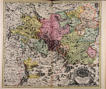
18th-century maps of schleswig-holstein
maps by pieter schenk (i)
maps made in the 17th century
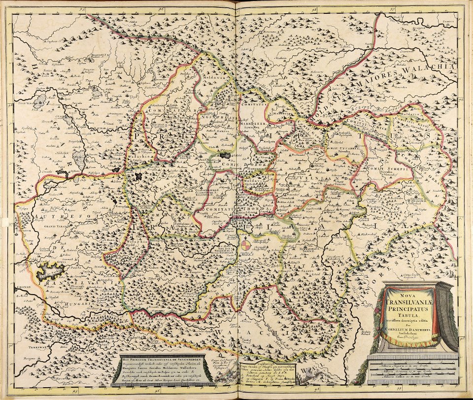
cornelis danckerts (i)
maps made in the 18th century
johann baptist homann
maps made in the 18th century
johann baptist homann
maps made in the 18th century
johann baptist homann
maps made in the 18th century
johann baptist homann
maps made in the 18th century
johann baptist homann
old maps of nuremberg
johann baptist homann
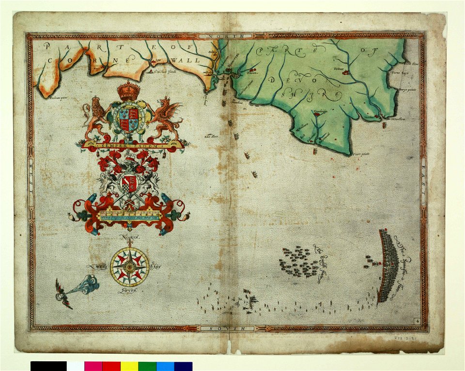
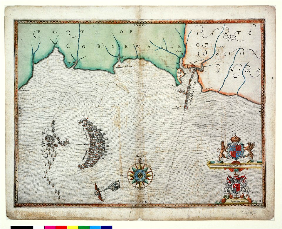
charts and maps of the royal museums greenwich
1590 maps
maps made in the 17th century
old celestial maps
atlantis magni tomus quintus (biblioteca comunale di trento)
maps made in the 17th century
maps made in the 18th century
gerard valck
gerard valck
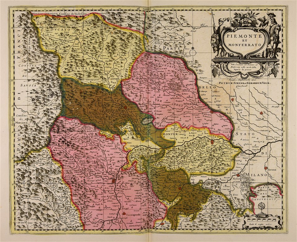
piedmont
maps made in the 17th century
jan janssonius
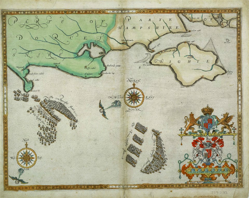
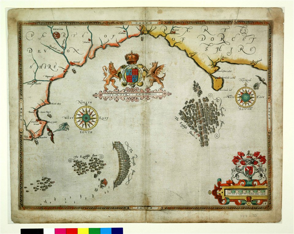
charts and maps of the royal museums greenwich
1590 maps
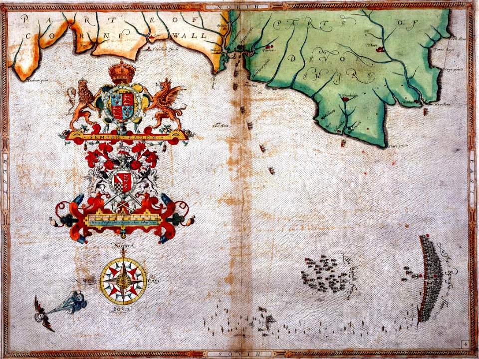
charts and maps of the royal museums greenwich
1590 maps
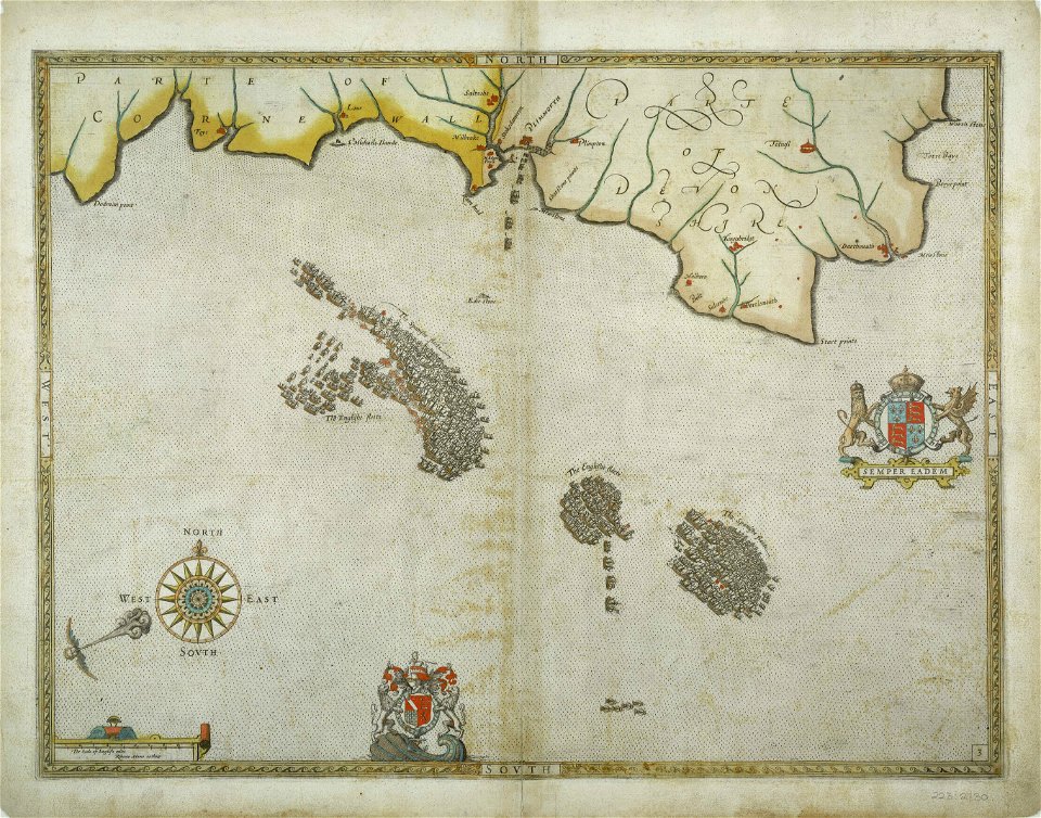
charts and maps of the royal museums greenwich
1590 maps
charts and maps of the royal museums greenwich
1590 maps
charts and maps of the royal museums greenwich
1590 maps
charts and maps of the royal museums greenwich
1590 maps
charts and maps of the royal museums greenwich
1590 maps
charts and maps of the royal museums greenwich
1590 maps
charts and maps of the royal museums greenwich
1590 maps
maps made in the 17th century
jan janssonius
maps made in the 17th century
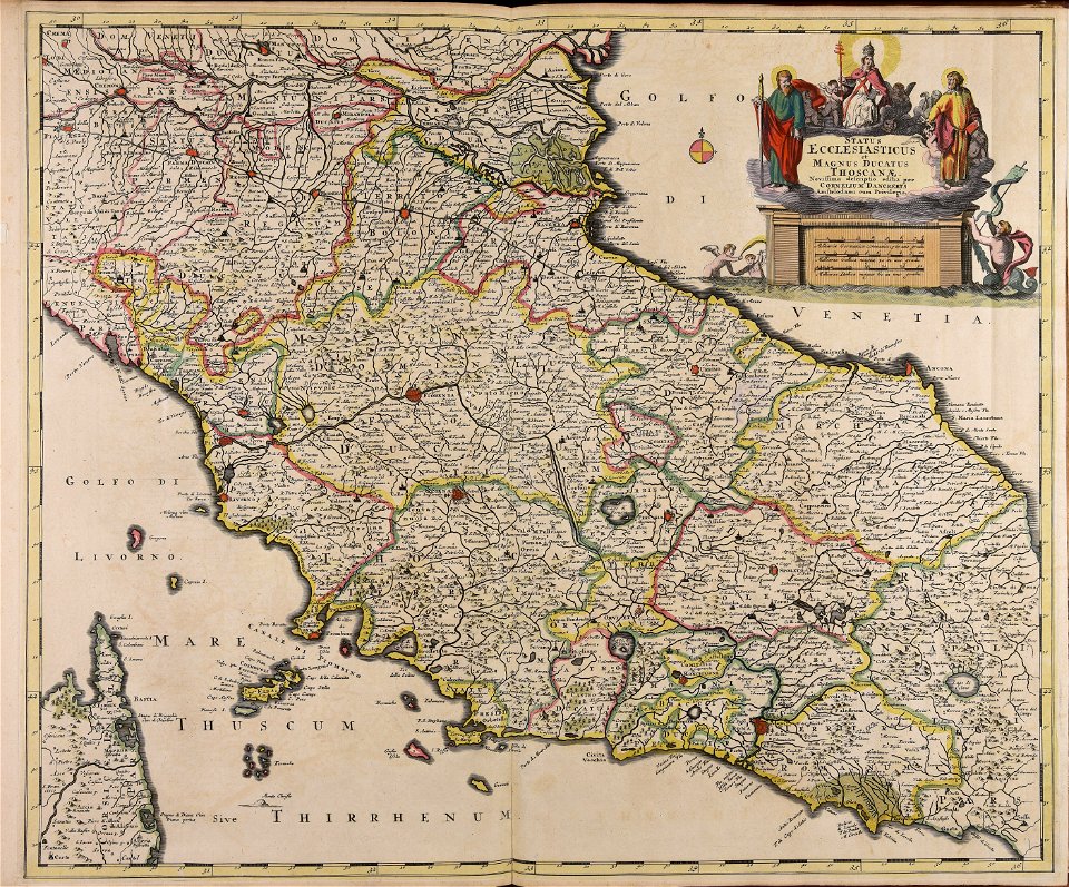
old maps of italy
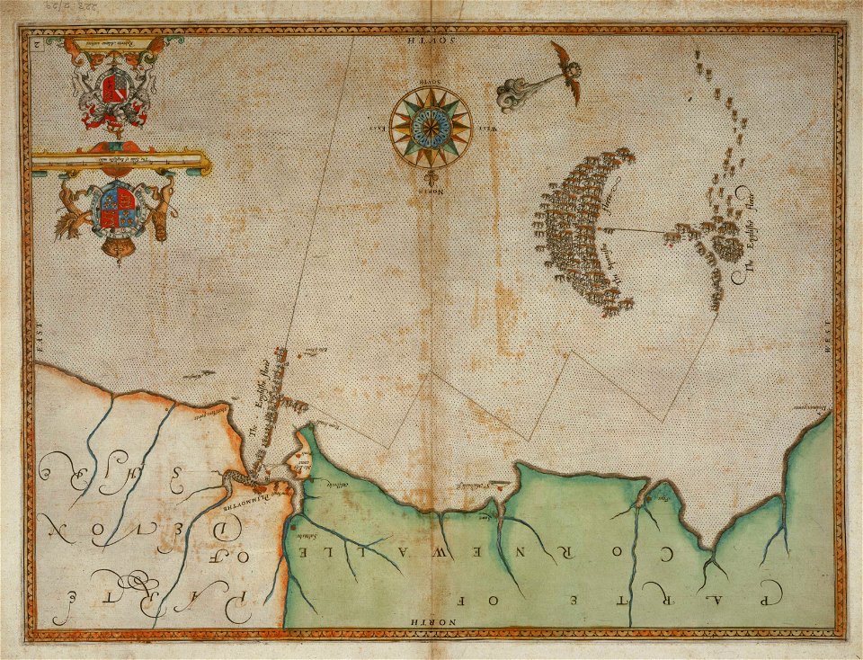
charts and maps of the royal museums greenwich
1590 maps
charts and maps of the royal museums greenwich
1590 maps
charts and maps of the royal museums greenwich
1590 maps
charts and maps of the royal museums greenwich
1590 maps
charts and maps of the royal museums greenwich
1590 maps
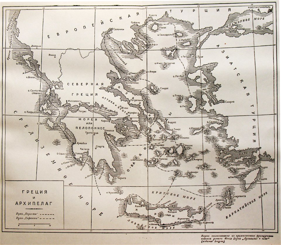
russian-language maps
old maps of greece
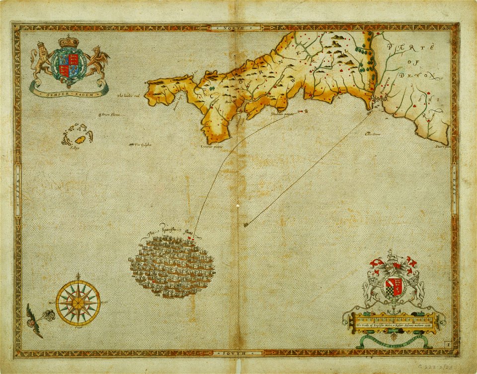
charts and maps of the royal museums greenwich
1590 maps
maps made in the 18th century
gerard valck
maps made in the 17th century
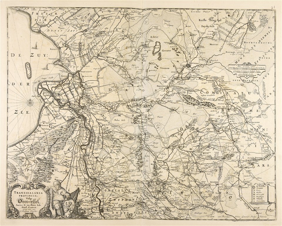
old maps of overijssel
charts and maps of the royal museums greenwich
1590 maps
maps made in the 17th century
nicolaes visscher ii
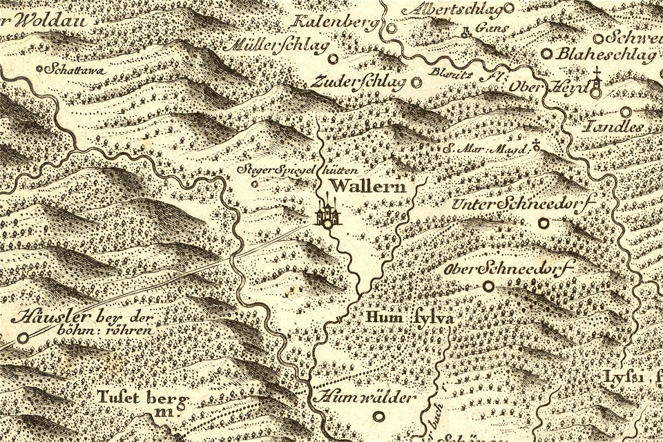
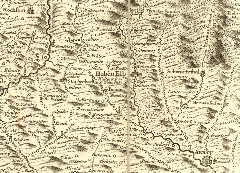
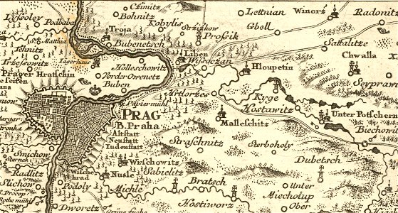
details of müller's map of bohemia
maps of volary
details of müller's map of bohemia
history of vrchlabí
details of müller's map of bohemia
history of hloubětín
anne baptiste nivelon
rococo
netherlands
the hague
old maps of mauritius
robert surcouf
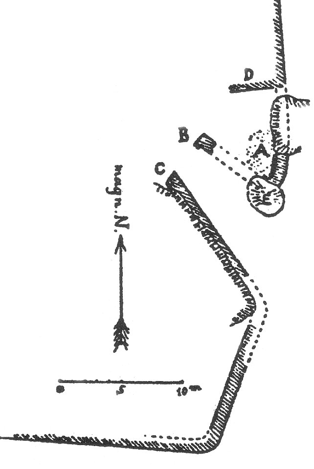
plans of castles in lower saxony
1890s maps
cosmographia (1600) by sebastian münster
1600s maps of egypt
itinerarium hierosolymitanum et syriacum..., 1619
old maps of rhodes
lepsius-projekt - pyramids
lepsius-projekt - maps
provided by landsbókasafn íslands
16th-century maps of iceland
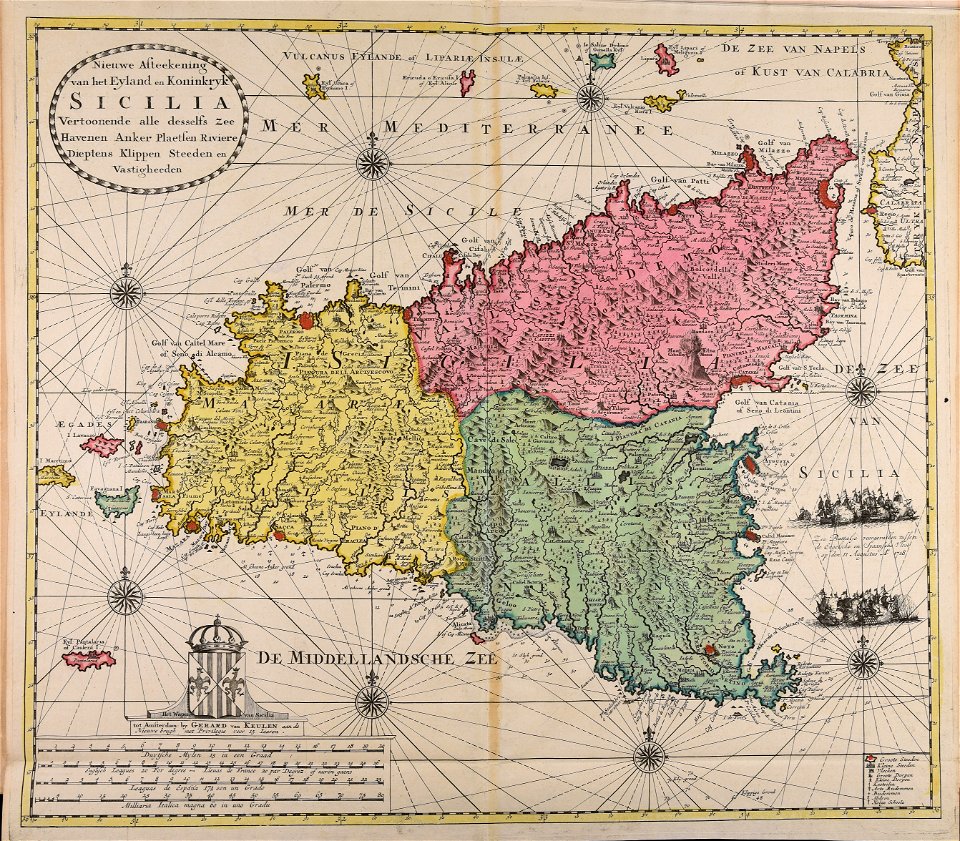
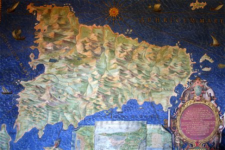
sicilia (galleria delle carte geografiche)
old maps of sicily
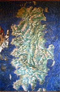
sardinia (galleria delle carte geografiche)
old maps of sardinia
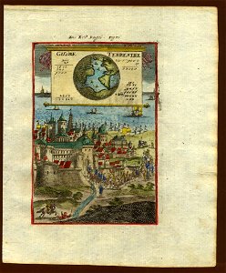
18th-century maps of the world
description de l'universe
18th-century maps of the world
description de l'universe
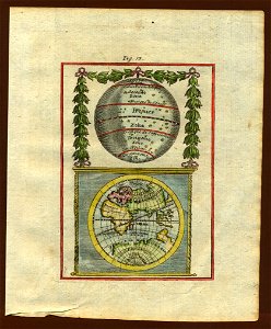
17th-century maps of the world
description de l'universe
17th-century maps of the world
description de l'universe
geographical illustrations by coronelli
old maps of the peloponnese
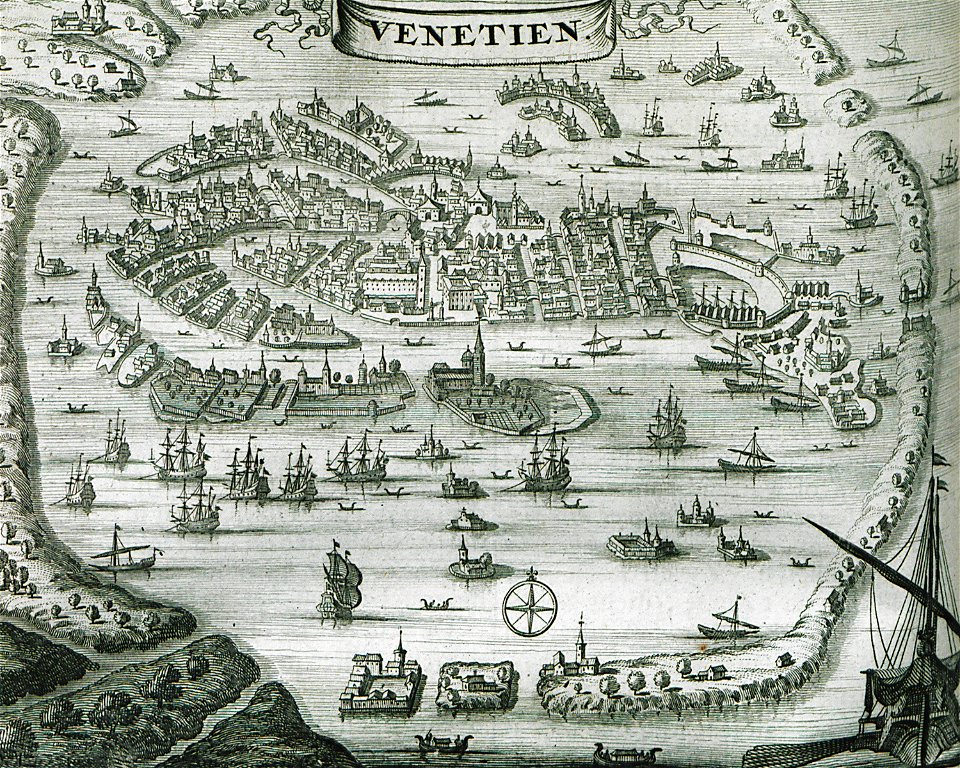
old maps of venice
venice in art
geographical illustrations by coronelli
old maps of the peloponnese
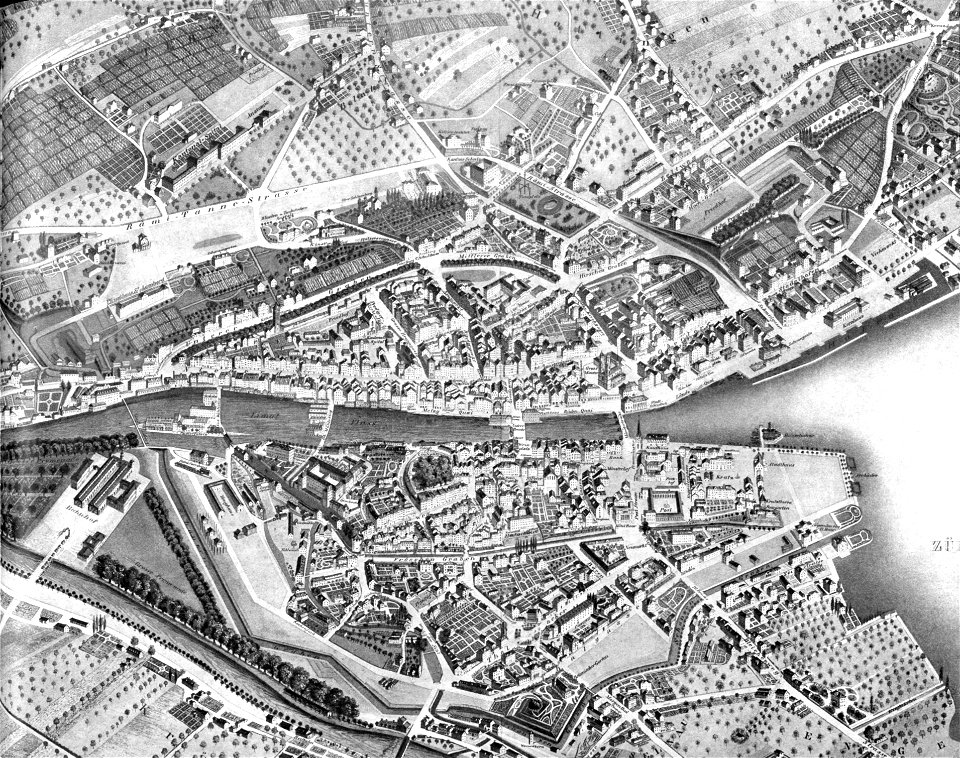
1846 in switzerland
old maps of zürich
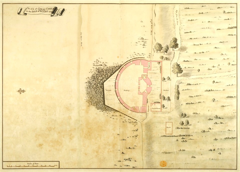
maps and plans of the device forts
cowes castle
il devotissimo viaggio di gerusalemme fatto
maps of zakynthos
provided by landsbókasafn íslands
16th-century maps of iceland
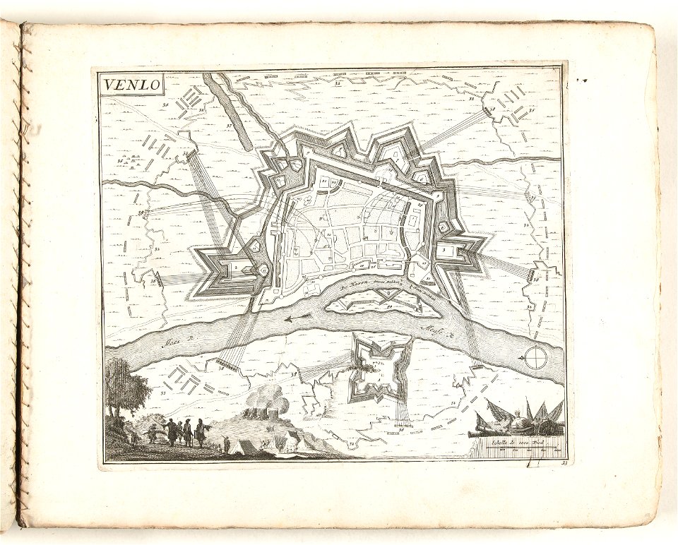
prints in the rijksmuseum amsterdam
old maps of venlo
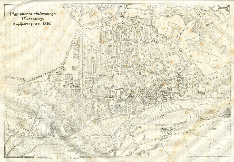
warsaw in the 19th century
historical maps of warsaw
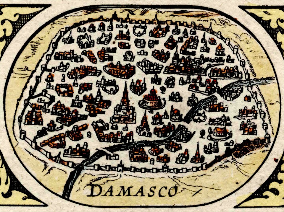
maps of damascus
damascus in art
6201 - 6300 of 1,095,938
Next page
/ 10960